Skip to content
Free US shipping on all orders
FOLIO
Home
Catalog
Search maps by title, year, or tag
0
All Maps
101 maps
Search
Availability
All
In stock (101)
Out of stock (0)
Sort
Featured
Most relevant
Best selling
Alphabetically, A-Z
Alphabetically, Z-A
Price, low to high
Price, high to low
Date, old to new
Date, new to old
Boston Harbor, 1688
From $17.00
Back Bay Before the Fill, 1855
From $17.00
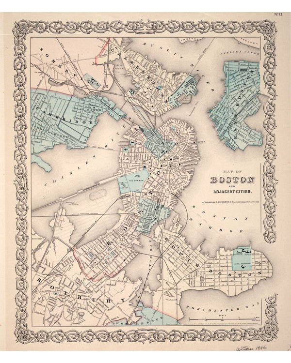
Boston, Charlestown & Roxbury, 1853
From $17.00
Siege of Boston, 1776
From $17.00
Boston, Plan Francais, 1764
From $24.00
Captain John Smith's New England, 1624
From $17.00
Boston from the North, 1877
From $17.00
Great Fire Burned District, 1872
From $21.00
New England, 1677
From $17.00
Great Fire Burnt District, 1872
From $17.00
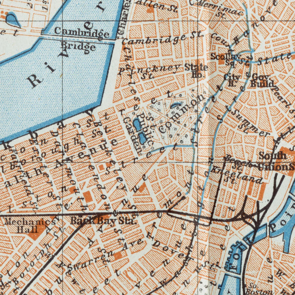
Baedeker's Downtown Boston, 1906
From $17.00
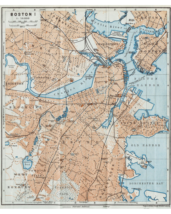
Baedeker's Boston, 1906
From $17.00
Greater Boston, 1893
From $17.00
Boston Annexation Map, 1873
From $19.00
Boston Harbor Chart, 1865
From $17.00
Cambridge, 1854
From $17.00
Boston Highlands, 1888
From $24.00
Shawmut Peninsula, 1880
From $17.00
Boston with Building Views, 1852
From $24.00
German Siege Map of Boston, 1776
From $17.00
Nova Belgica, 1635
From $17.00
Independence Day, 1870
From $17.00
Burgis Plan of Boston, 1728
From $17.00
Boston Wall Map, 1852
From $17.00
←
1
2
3
4
5
→