Skip to content
Free US shipping on all orders
FOLIO
Home
Catalog
Search maps by title, year, or tag
0
All Maps
101 maps
Search
Availability
All
In stock (101)
Out of stock (0)
Sort
Featured
Most relevant
Best selling
Alphabetically, A-Z
Alphabetically, Z-A
Price, low to high
Price, high to low
Date, old to new
Date, new to old
Boston As It Should Be, 1867
From $21.00
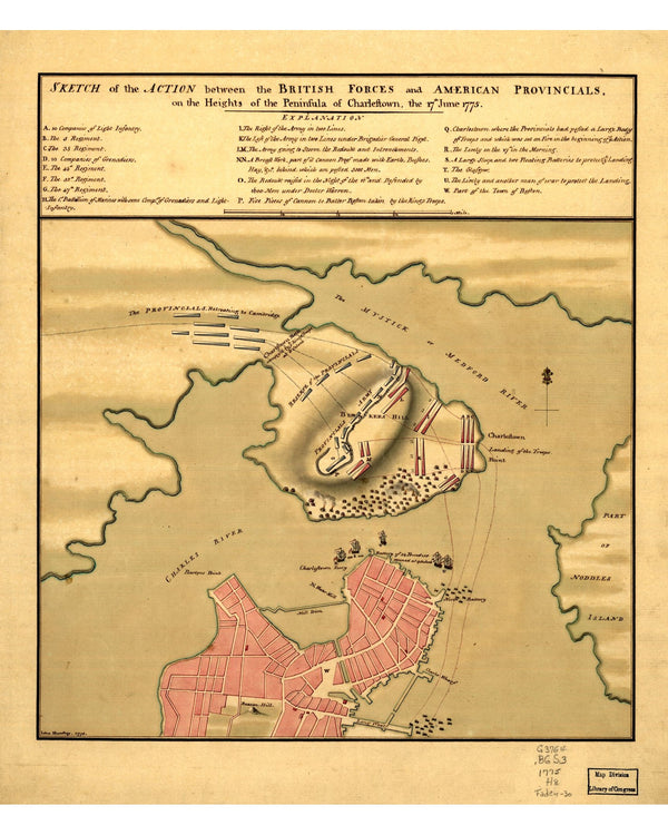
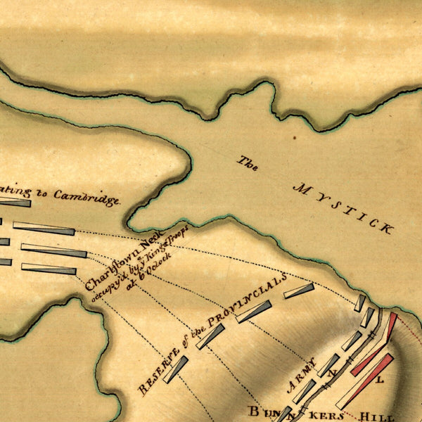
Battle of Bunker Hill, 1775
From $17.00
Boston Street Railways, 1914
From $21.00
Boston First Directory Map, 1789
From $17.00
Boston by Ward, 1880
From $19.00
Boston Rural Parks, 1874
From $17.00
Boston Annexations, 1874
From $17.00
Concord, 1852
From $17.00
Plan de la Ville de Boston, 1764
From $17.00
White Mountains by Rail, 1896
$19.00
Boston & Vicinity, 1895
From $17.00
Boston Terminal Facilities, 1893
From $17.00
Boston, Charlestown & Cambridge, 1841
From $19.00
Boston Radial Thoroughfares, 1909
From $17.00
Boston Bicycle Routes, 1898
From $17.00
Boston Wards, 1870
From $24.00
Boston Wards, 1861
From $21.00
Boston Harbor Chart, 1776
From $24.00
Seat of War, 1775
From $17.00
Boston Town Plan, 1743
From $17.00
New England, 1624
From $17.00
Boston Inner Harbor, 1907
From $21.00
Boston Directory Map, 1893
From $17.00
Edgartown, Martha's Vineyard, 1886
$24.00
1
2
3
…
5
→