Skip to content
Free US shipping on all orders
FOLIO
Home
Catalog
Search maps by title, year, or tag
0
Peak City Mapping (1850–1874)
26 maps
Search
Availability
All
In stock (26)
Out of stock (0)
Sort
Featured
Most relevant
Best selling
Alphabetically, A-Z
Alphabetically, Z-A
Price, low to high
Price, high to low
Date, old to new
Date, new to old
Boston As It Should Be, 1867
From $21.00
Boston Rural Parks, 1874
From $17.00
Boston Annexations, 1874
From $17.00
Concord, 1852
From $17.00
Boston Wards, 1870
From $24.00
Boston Wards, 1861
From $21.00
Copeland's Boston Improvements, 1872
From $17.00
Boston Engineering Plan, 1867
From $24.00
Boston from Above, 1871
From $21.00
Nanitz' Mercantile Boston, 1869
From $17.00
Boston Rail Hub, 1860
From $17.00
Salem, 1851
From $19.00
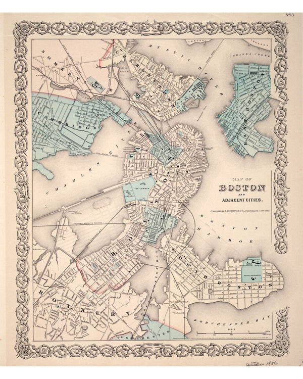
Boston and Vicinity, 1853
From $19.00
Boston from Corey's Hill, 1864
$24.00
Back Bay Before the Fill, 1855
From $17.00
Boston, Charlestown & Roxbury, 1853
From $17.00
Great Fire Burned District, 1872
From $21.00
Great Fire Burnt District, 1872
From $17.00
Boston Annexation Map, 1873
From $19.00
Boston Harbor Chart, 1865
From $17.00
Cambridge, 1854
From $17.00
Boston with Building Views, 1852
From $24.00
Independence Day, 1870
From $17.00
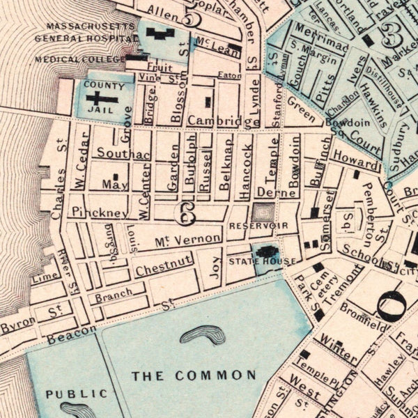
Boston Wall Map, 1852
From $17.00
1
2
→