Skip to content
Free US shipping on all orders
FOLIO
Home
Catalog
Search maps by title, year, or tag
0
Parks & Infrastructure (1875–1899)
23 maps
Search
Availability
All
In stock (23)
Out of stock (0)
Sort
Featured
Most relevant
Best selling
Alphabetically, A-Z
Alphabetically, Z-A
Price, low to high
Price, high to low
Date, old to new
Date, new to old
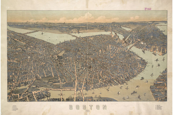
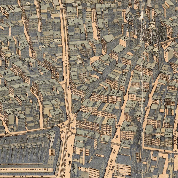
Boston by Ward, 1880
From $19.00
White Mountains by Rail, 1896
$19.00
Boston & Vicinity, 1895
From $17.00
Boston Terminal Facilities, 1893
From $17.00
Boston Bicycle Routes, 1898
From $17.00
Boston Directory Map, 1893
From $17.00
Edgartown, Martha's Vineyard, 1886
$24.00
New Boston & Charles River Bay, 1886
From $17.00
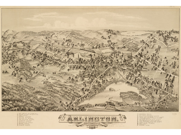
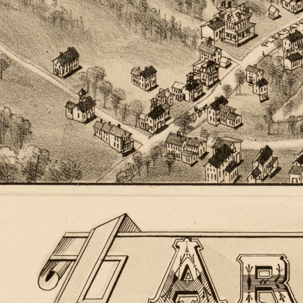
Arlington, 1884
From $24.00
Newburyport, 1880
From $17.00
Boston from the Oldest Authorities, 1893
From $19.00
Mitchell's Boston, 1882
$24.00
Cottage City, Martha's Vineyard, 1880
From $24.00
Downtown Boston, 1896
From $24.00
Newburyport, 1894
From $24.00
Providence, 1882
From $17.00
Plymouth, 1882
From $17.00
Boston Guide Map, 1880
$24.00
Boston from the North, 1877
From $17.00
Greater Boston, 1893
From $17.00
Boston Highlands, 1888
From $24.00
Shawmut Peninsula, 1880
From $17.00
Back Bay Complete, 1899
$24.00