Skip to content
Free US shipping on all orders
FOLIO
Home
Catalog
Search maps by title, year, or tag
0
City Plans
43 maps
Search
Availability
All
In stock (43)
Out of stock (0)
Sort
Featured
Most relevant
Best selling
Alphabetically, A-Z
Alphabetically, Z-A
Price, low to high
Price, high to low
Date, old to new
Date, new to old
Boston Elevated Railway, 1910
From $24.00
Downtown Boston, 1896
From $24.00
Boston Rail Hub, 1860
From $17.00
Boston Wards, 1839
From $19.00
Shawmut Peninsula, 1723
From $21.00
Bonner's Boston, 1722
From $17.00
Ye Great Town of Boston, 1769
From $21.00
Back Bay Before the Fill, 1855
From $17.00
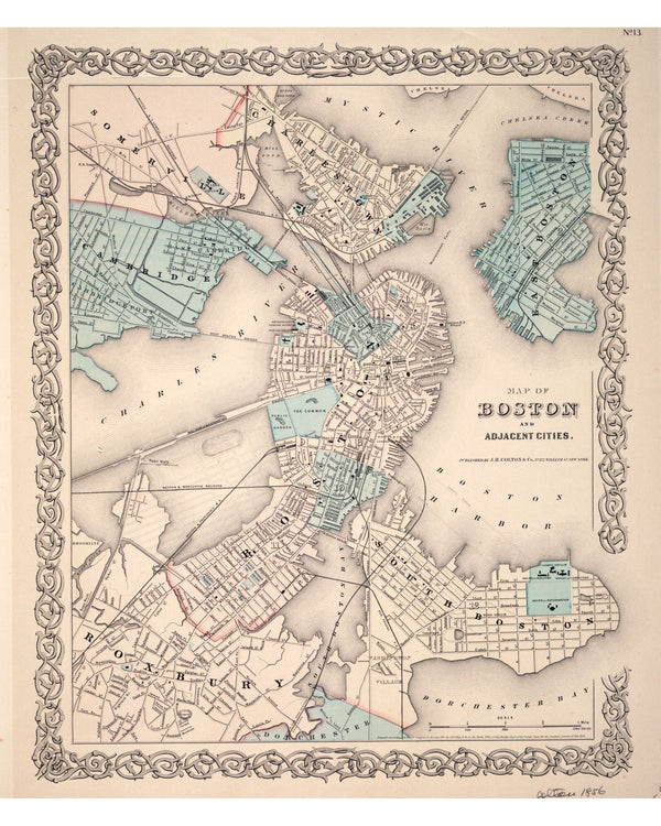
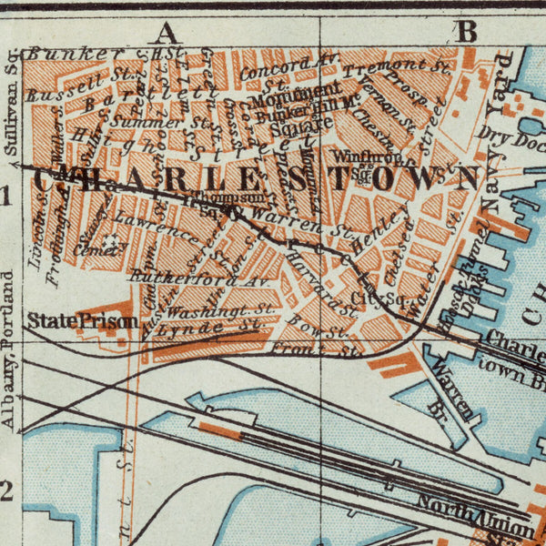
Boston, Charlestown & Roxbury, 1853
From $17.00
Boston, Plan Francais, 1764
From $24.00
Great Fire Burnt District, 1872
From $17.00
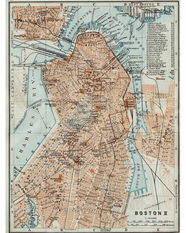
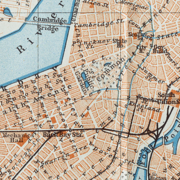
Baedeker's Downtown Boston, 1906
From $17.00
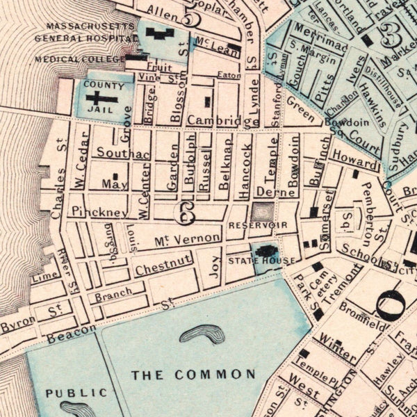
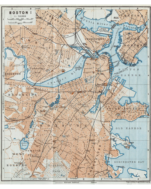
Baedeker's Boston, 1906
From $17.00
Greater Boston, 1893
From $17.00
Boston Annexation Map, 1873
From $19.00
Cambridge, 1854
From $17.00
Shawmut Peninsula, 1880
From $17.00
Boston with Building Views, 1852
From $24.00
Boston Wall Map, 1852
From $17.00
←
1
2


![A new plan of ye great town of Boston in New England in America, with the many additionall [sic] buildings, & new streets, to the year, 1769 — detail 1](http://foliomaps.co/cdn/shop/files/3f462v50z-detail-1.jpg?v=1775762889&width=600)