Skip to content
Free shipping over $75.
FOLIO
Home
Catalog
Search maps by title, year, or tag
0
Products
101 maps
Search
Availability
All
In stock (101)
Out of stock (0)
Sort
Featured
Most relevant
Best selling
Alphabetically, A-Z
Alphabetically, Z-A
Price, low to high
Price, high to low
Date, old to new
Date, new to old
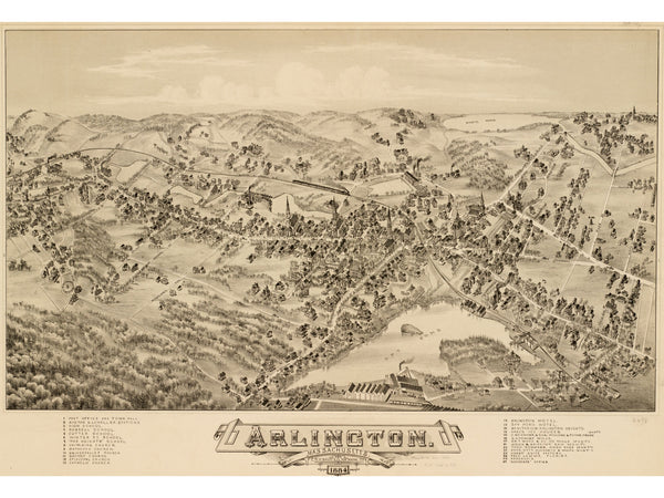
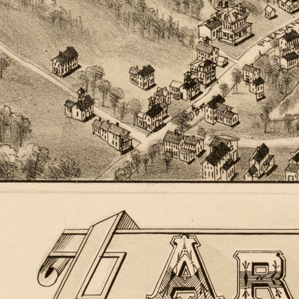
Arlington, 1884
From $39.00
Back Bay Before the Fill, 1855
From $29.00
Back Bay Complete, 1899
$39.00
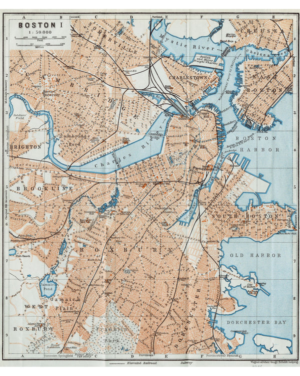
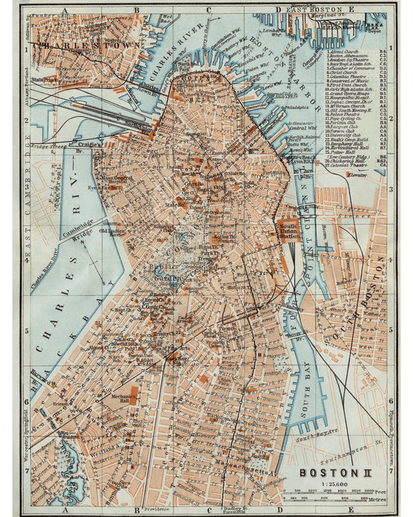
Baedeker's Boston, 1906
From $29.00
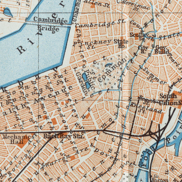
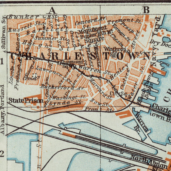
Baedeker's Downtown Boston, 1906
From $29.00
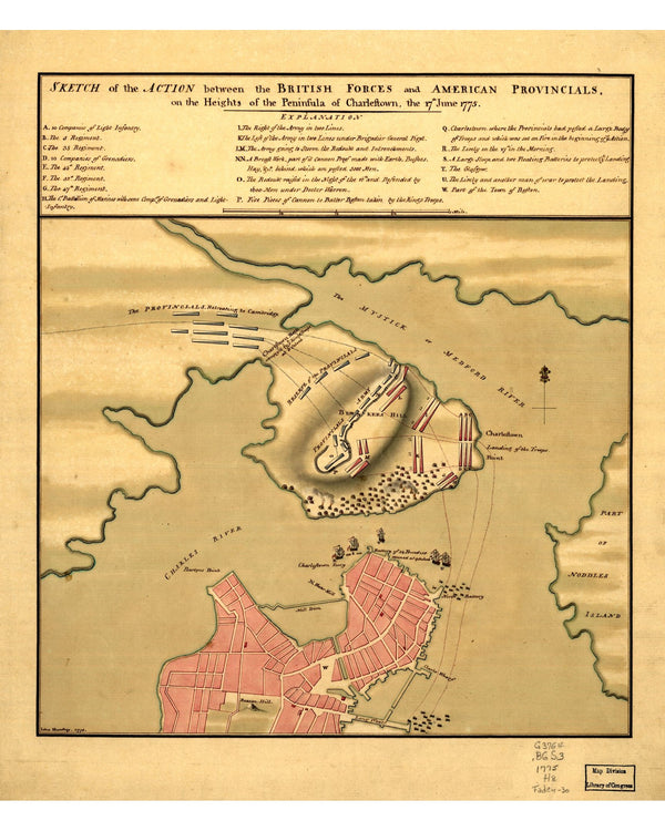
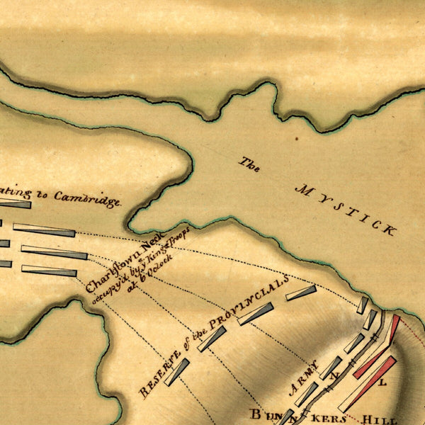
Battle of Bunker Hill, 1775
From $29.00
Battle of Bunker Hill, 1793
$29.00
Bonner's Boston, 1722
From $29.00
Boston & Vicinity, 1895
From $29.00
Boston and Vicinity, 1853
From $29.00
Boston Annexation Map, 1873
From $29.00
Boston Annexations, 1874
From $29.00
Boston As It Should Be, 1867
From $35.00
Boston Bay (French), 1778
$39.00
Boston Bicycle Routes, 1898
From $29.00
Boston by Ward, 1880
From $29.00
Boston Common & Public Garden, 1901
From $39.00
Boston Directory Map, 1893
From $29.00
Boston Elevated Railway, 1910
From $39.00
Boston Engineering Plan, 1867
From $39.00
Boston First Directory Map, 1789
From $29.00
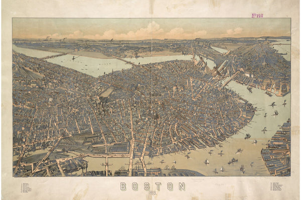
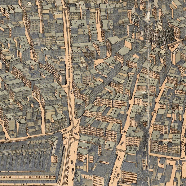
Boston from Above, 1871
From $35.00
Boston from Bradford's Atlas, 1838
From $29.00
Boston from Corey's Hill, 1864
$39.00
1
2
3
…
5
→